Log in
All resources
Create a design
4,034 Free Images of Maps Of The World
world map
vintage maps
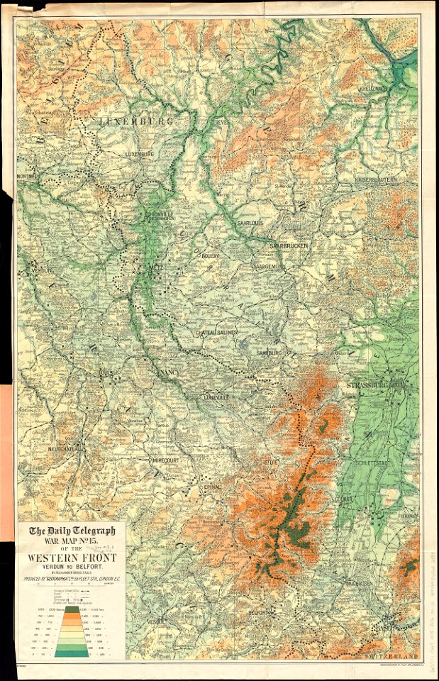
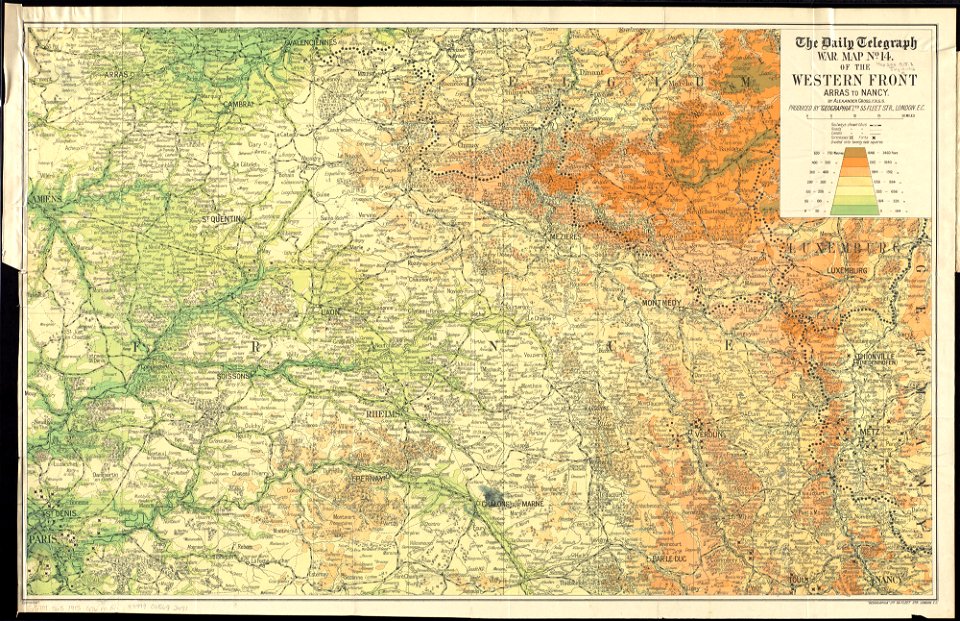
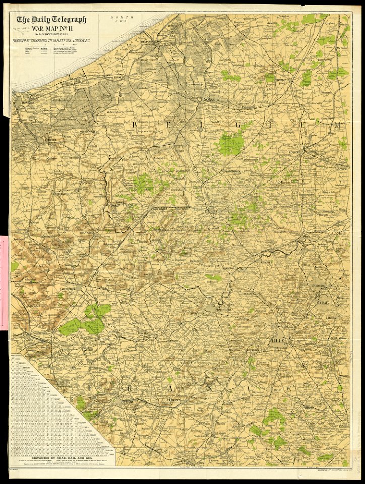
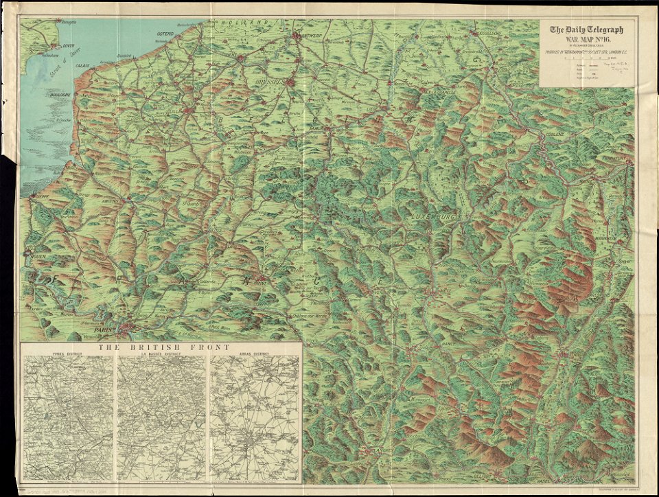
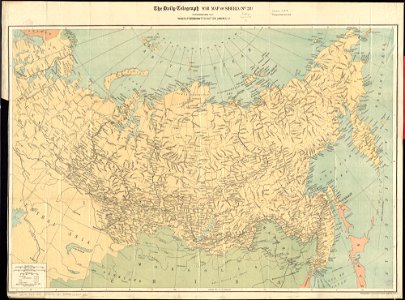
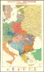
maps of world war i by the daily telegraph
earth
globe
old map
poster
vintage
latin-language maps
australia
maps of world war i by the daily telegraph
maps of world war i by the daily telegraph
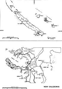
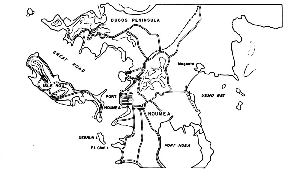
nouméa in world war ii
nouméa
charts and maps of the royal museums greenwich
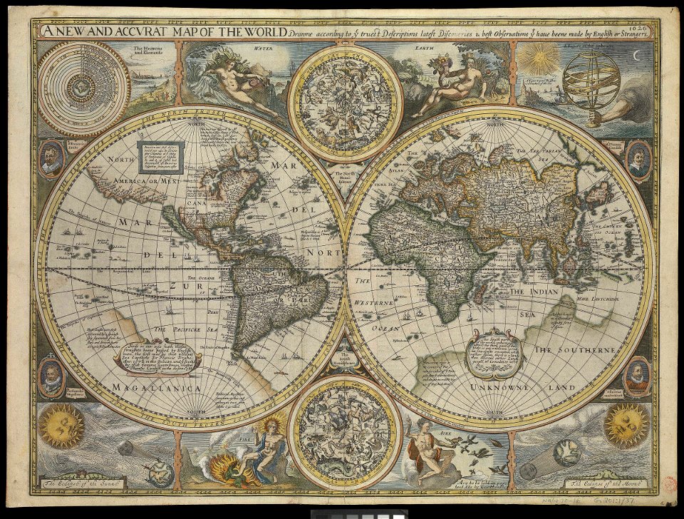
1626 maps
charts and maps of the royal museums greenwich
1626 maps
old maps of frisland
maps by coronelli
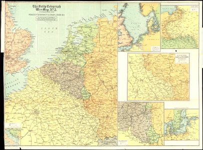
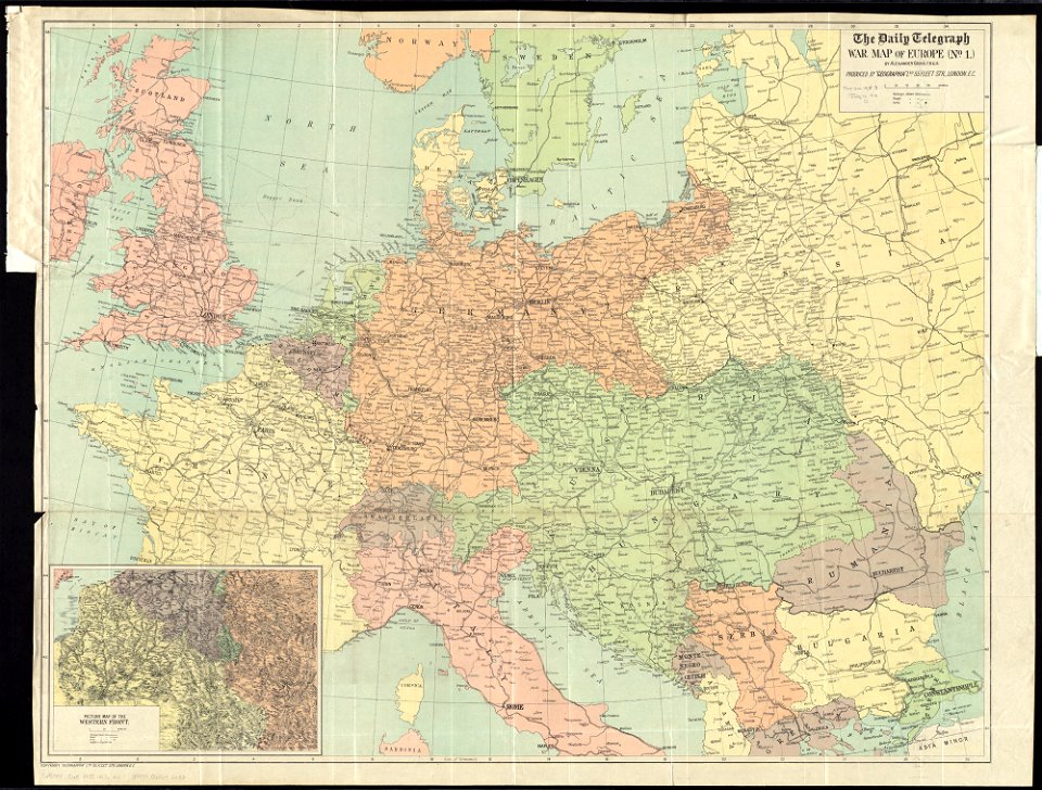
maps of world war i by the daily telegraph
maps of world war i by the daily telegraph
maps of world war i by the daily telegraph
maps of world war i by the daily telegraph
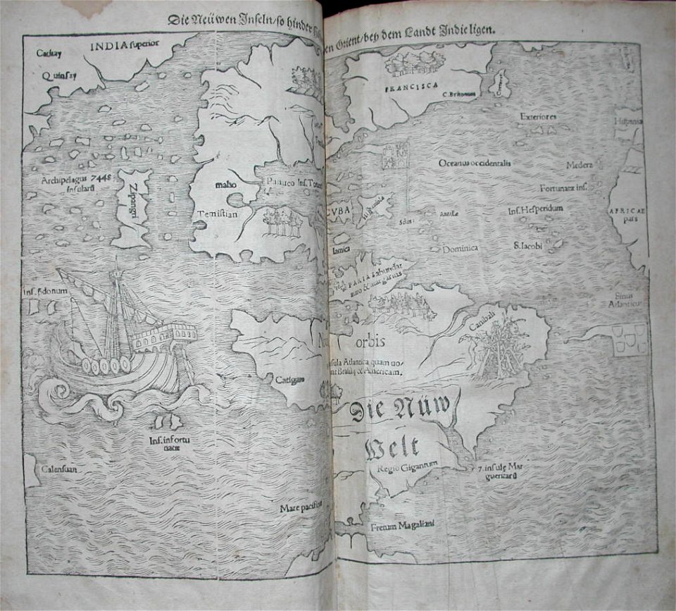
old maps of the dutch east india company
1622
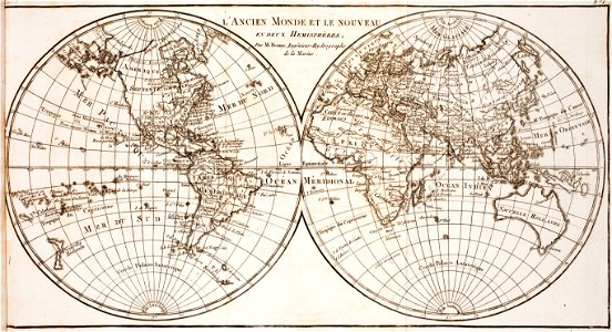
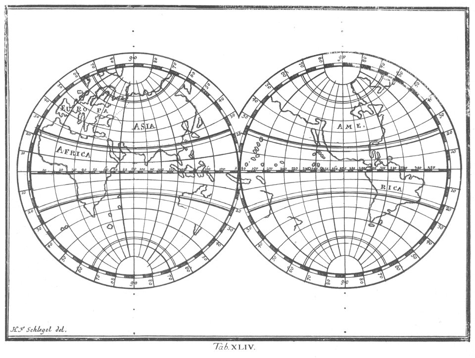
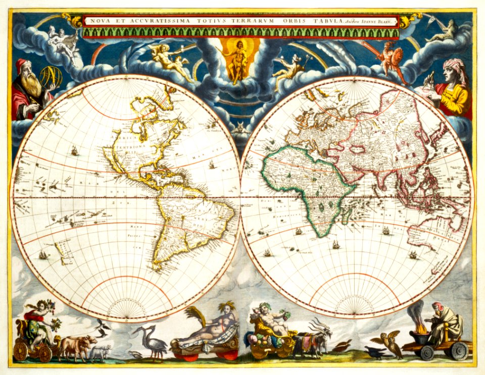
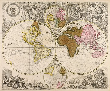
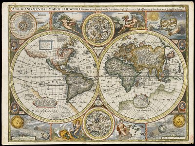
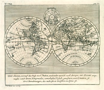
old maps of earth's hemispheres
western hemisphere
australia
maps
globe
maps
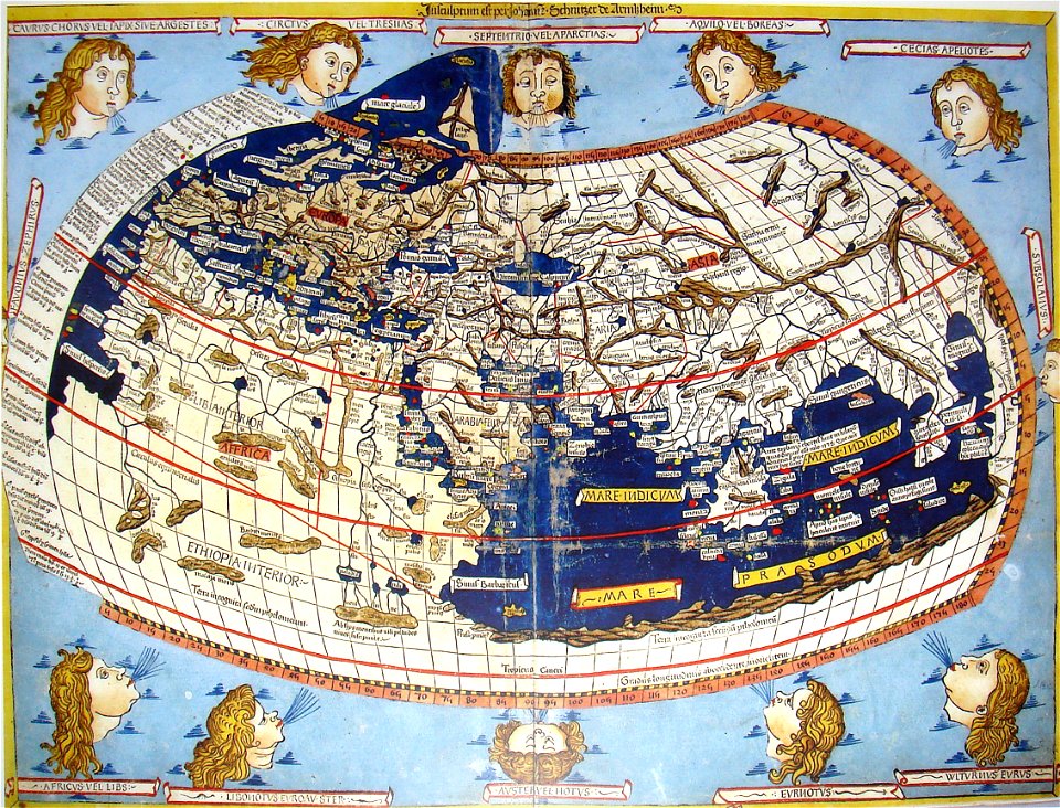
donnus nicolaus germanus
latin-language maps
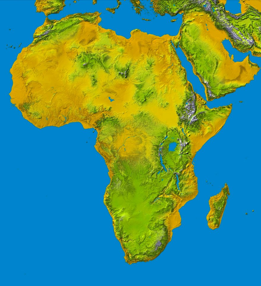
africa
maps
illustrations of cosmographia (münster)
old maps of the world
nouméa in world war ii
nouméa
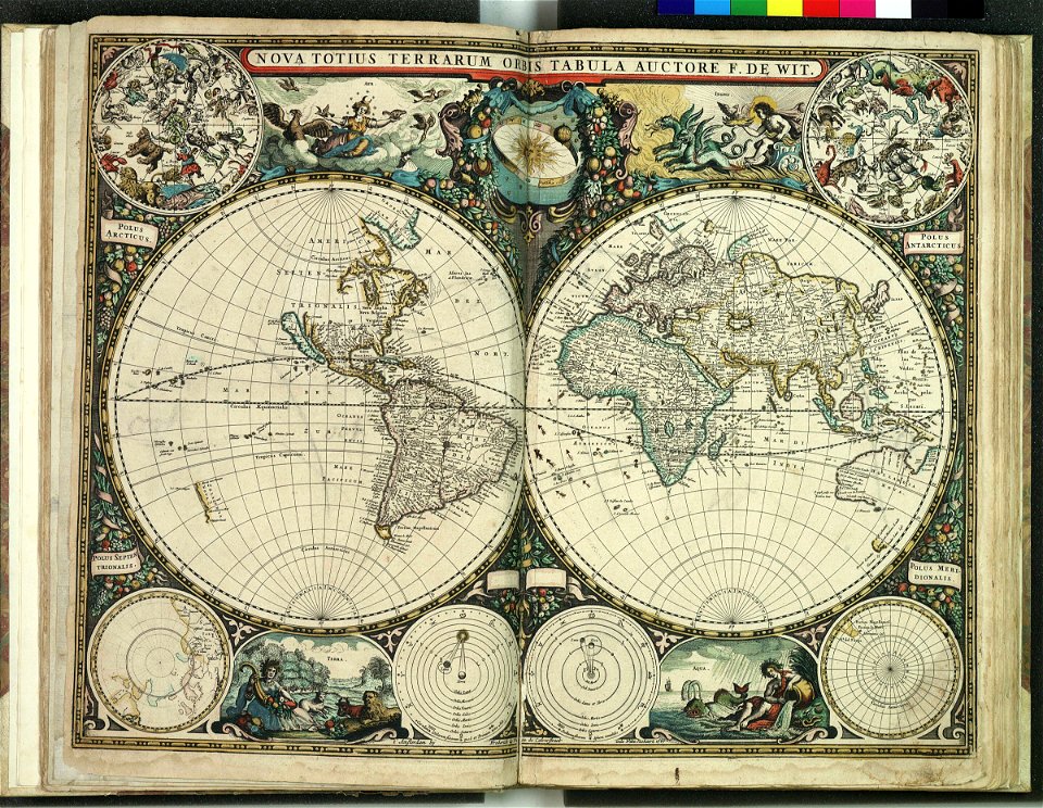
maps by frederick de wit
latin-language maps
globe
maps
paintings in the art gallery of south australia
old map
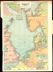
maps of world war i by the daily telegraph
maps of world war i by the daily telegraph
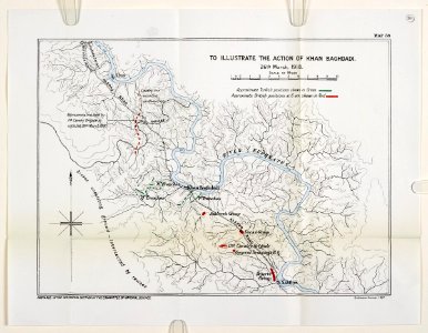
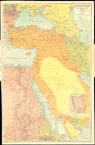
mesopotamian campaign maps of world war i
illustration
maps
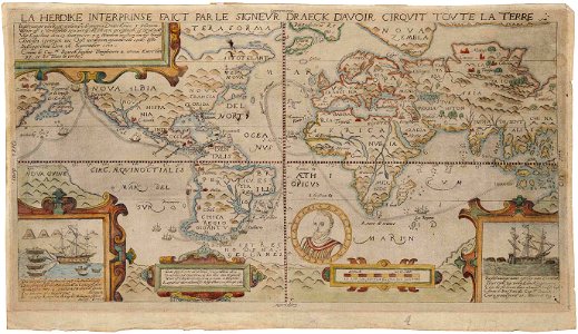
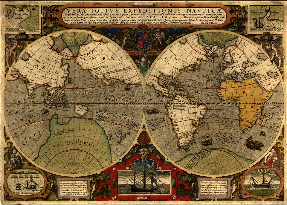
francis drake
1577
latin-language maps
1685 maps
illustration
maps
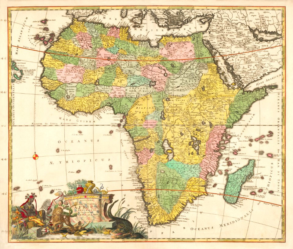
africa
maps
popular science monthly illustrations/volume 16
ancient greek maps of the world
vintage
maps
continent
earth
globe
maps
maps of world war i by the daily telegraph
maps of world war i by the daily telegraph
maps of world war i by the daily telegraph
old maps of the dutch east india company
1730s
green
maps
symbol
maps
symbol
maps
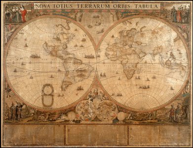
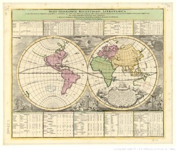
double hemisphere world maps
old celestial maps
maps of world war i by the daily telegraph
description de l'universe
alain manesson-mallet
iehova/jehova/jehovah
1596 maps
old maps of the dutch east india company
1750
australia
maps
maps
art
prints from bonne atlas de toutes les parties at the peace palace library
world map
files from the bodleian libraries
old maps of the world
16th-century maps of the world
english-language maps
maps of voyages
australia
maps
earth
maps
maps
war
maps of world war i by the daily telegraph
maps of world war i by the daily telegraph
1540s maps of the world
petrus apianus
world map
maps
australia
maps
1870s maps of the world
latin-language maps
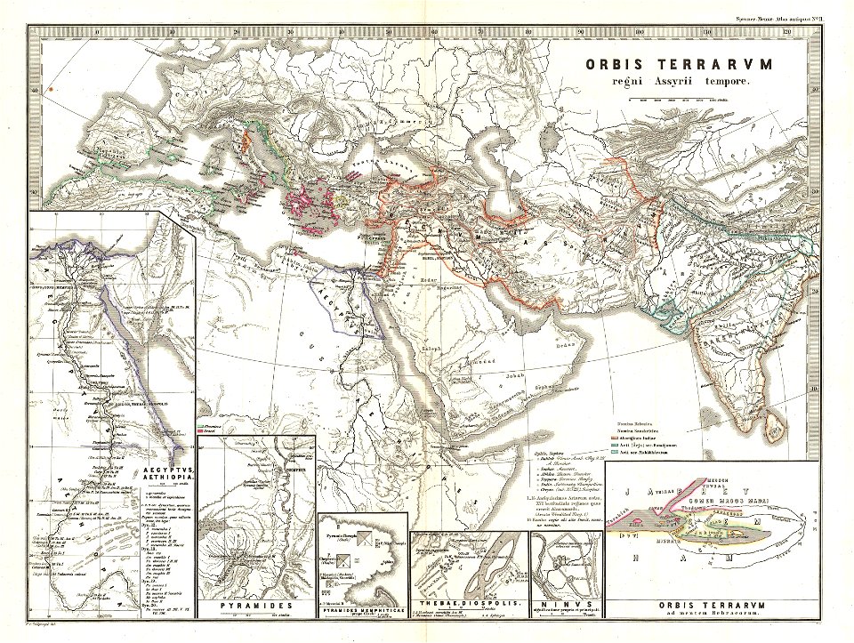
karl spruner von merz
1865 maps of europe
illustration
maps
pointing in art
theodor de bry
earth
maps
maps of world war i by the daily telegraph
world map
project
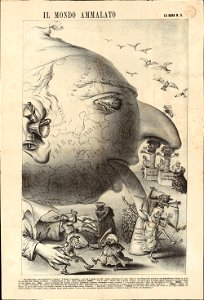
19th-century satirical maps
1870s maps of the world
maps by frederick de wit
copper engraving
maps by frederick de wit
1660s maps of the world
maps of world war i by the daily telegraph
karl spruner von merz
1865 maps of europe
1770s maps of the world
elementarwerk
maps of ancient persia
karl spruner von merz
cosmographia claudii ptolomaei alexandrini
latin-language maps
australia
maps
earth
maps
world map
planet
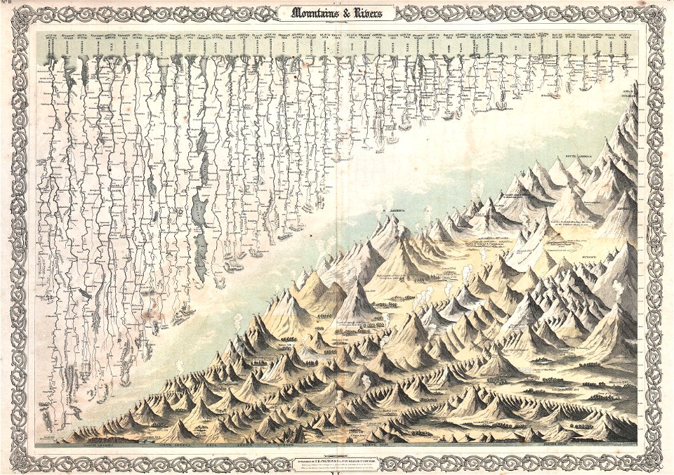
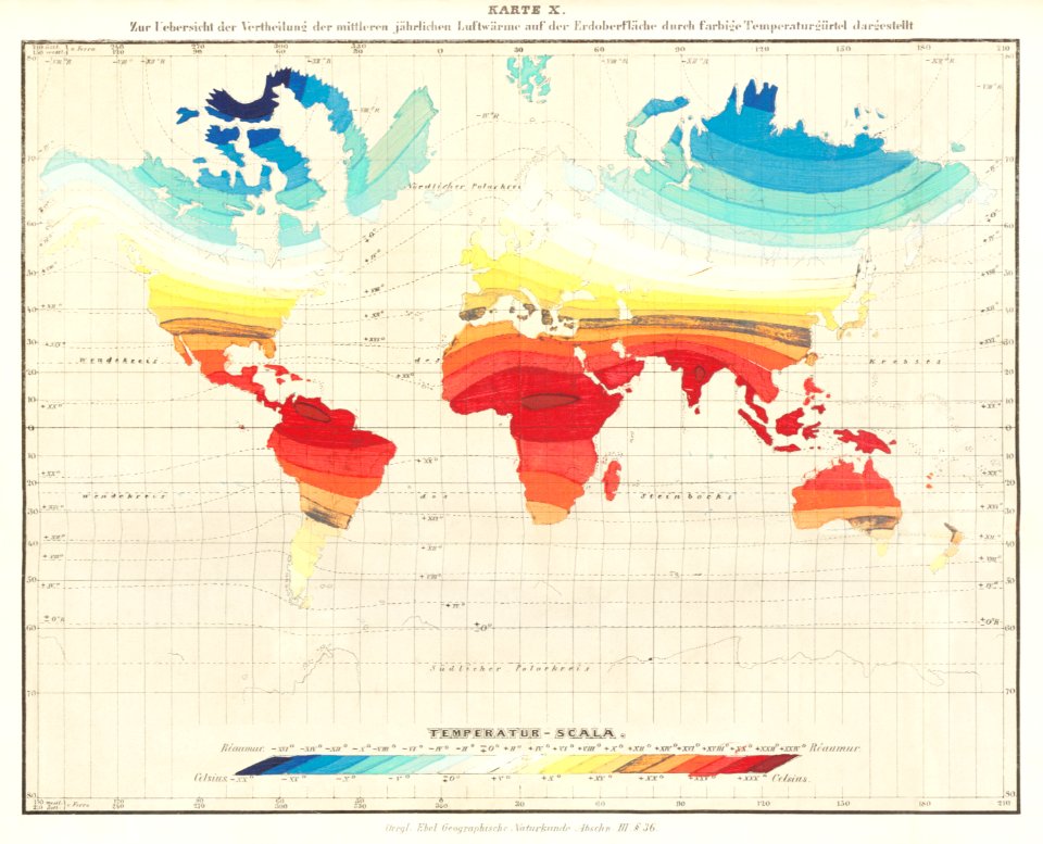
geographic comparison diagrams
diagrams of mountains
continent
earth
world war ii in rennes
old maps of rennes
popular science monthly illustrations/volume 16
12th-century maps of the world
birds in art of france
lions in art
brown
maps
1590s maps of the world
francis drake
maps
sea
victor levasseur - maps of the world
frédéric-auguste laguillermie
description de l'universe
1710s maps of the world
description de l'universe
1680s maps of the world
victor levasseur - maps of the world
old maps of asia
1760s maps of the world
people
maps
ferdinand magellan
new world
travel
maps
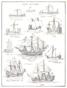
old ships
maps
maps made in the 17th century
maps by pieter schenk (i)
19th-century maps of africa
maps with figures
travel
maps
earth
maps
airplane
earth
vintage
maps
301 - 400 of 4,034
Next page
/ 41


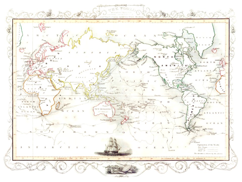


![Johnson's Western Hemisphere [and] Johnson's Eastern Hemisphere (1866) by Johnson and Ward.](https://cdn.creazilla.com/illustrations/1955988/johnson-s-western-hemisphere-and-johnson-s-eastern-hemisphere-1866-by-johnson-an-sm.jpeg)